signage
/ˈsaɪnɪdʒ/All the direction boards and notices in a public place, taken as a whole.
Example: The signage in this airport is clear and easy to follow.

 Hi EnglishQuiz
C120 words · Advanced
Directions vocabulary for describing terrain precisely, including latitude, longitude, meridian and bearing, plus a labyrinthine or circuitous route.
All the direction boards and notices in a public place, taken as a whole.
Example: The signage in this airport is clear and easy to follow.
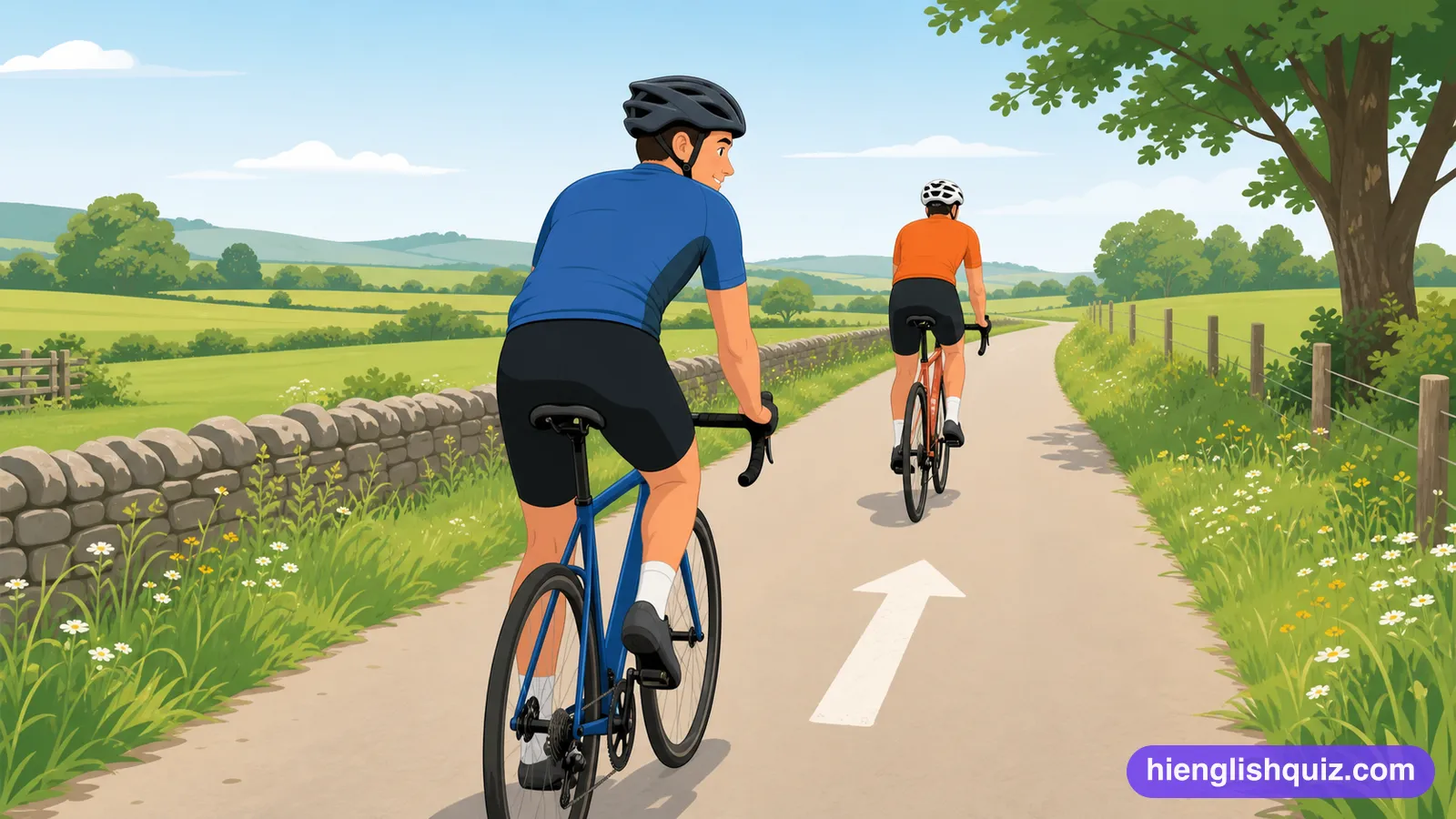
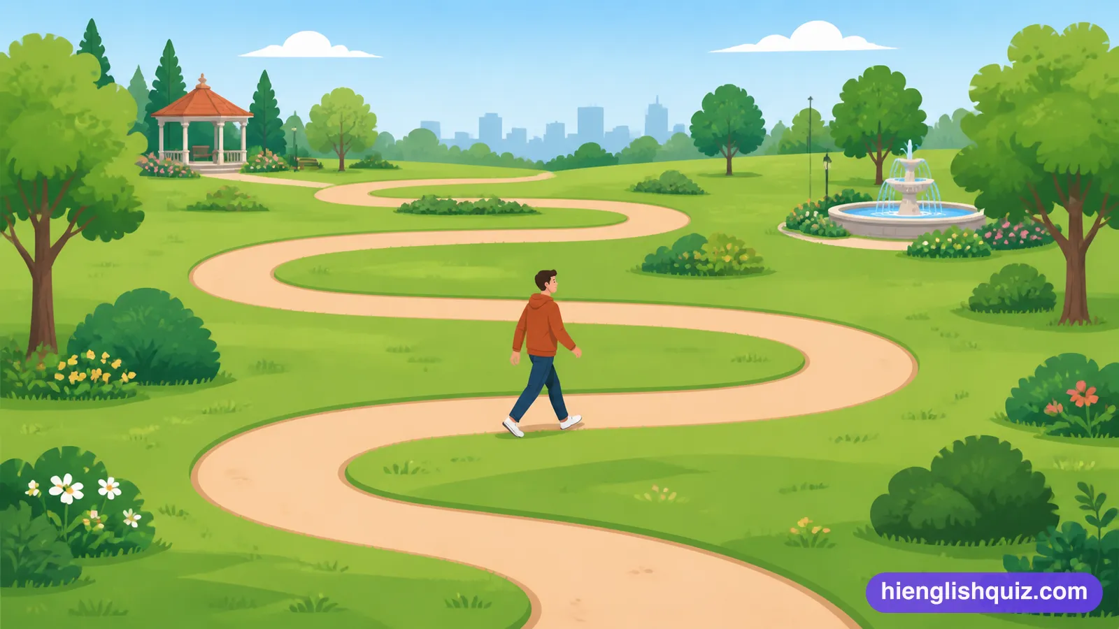
To follow a winding path instead of going in a straight line.
Example: The lane meanders through the old part of town.
So complicated, like a maze, that it's very easy to get lost.
Example: We got lost in the city's labyrinthine back streets.

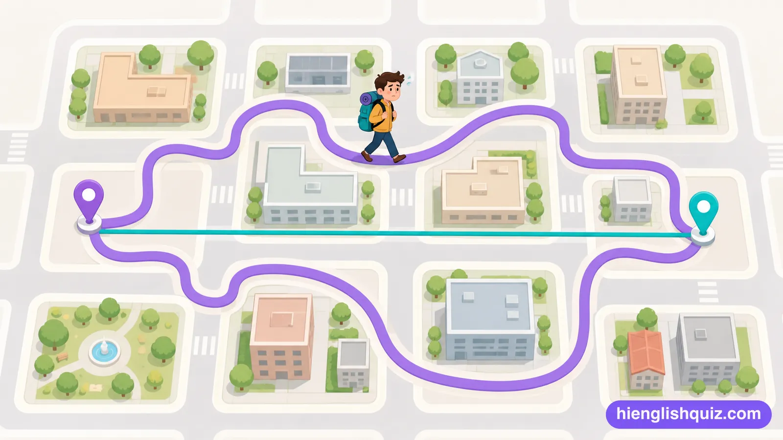
Much longer and more indirect than the most direct way.
Example: We took a circuitous route to avoid the roadworks.
Possible to travel along or find a way through safely.
Example: The old towpath is still navigable on foot.

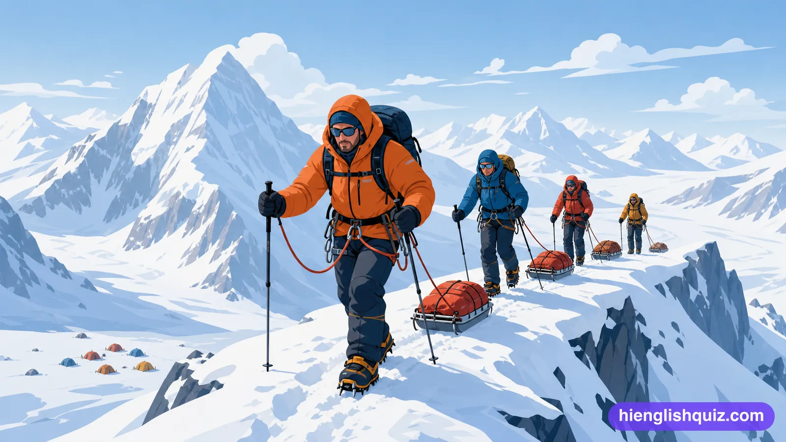
To cross or move through an area, especially a difficult one.
Example: The trail traverses the entire mountain range.
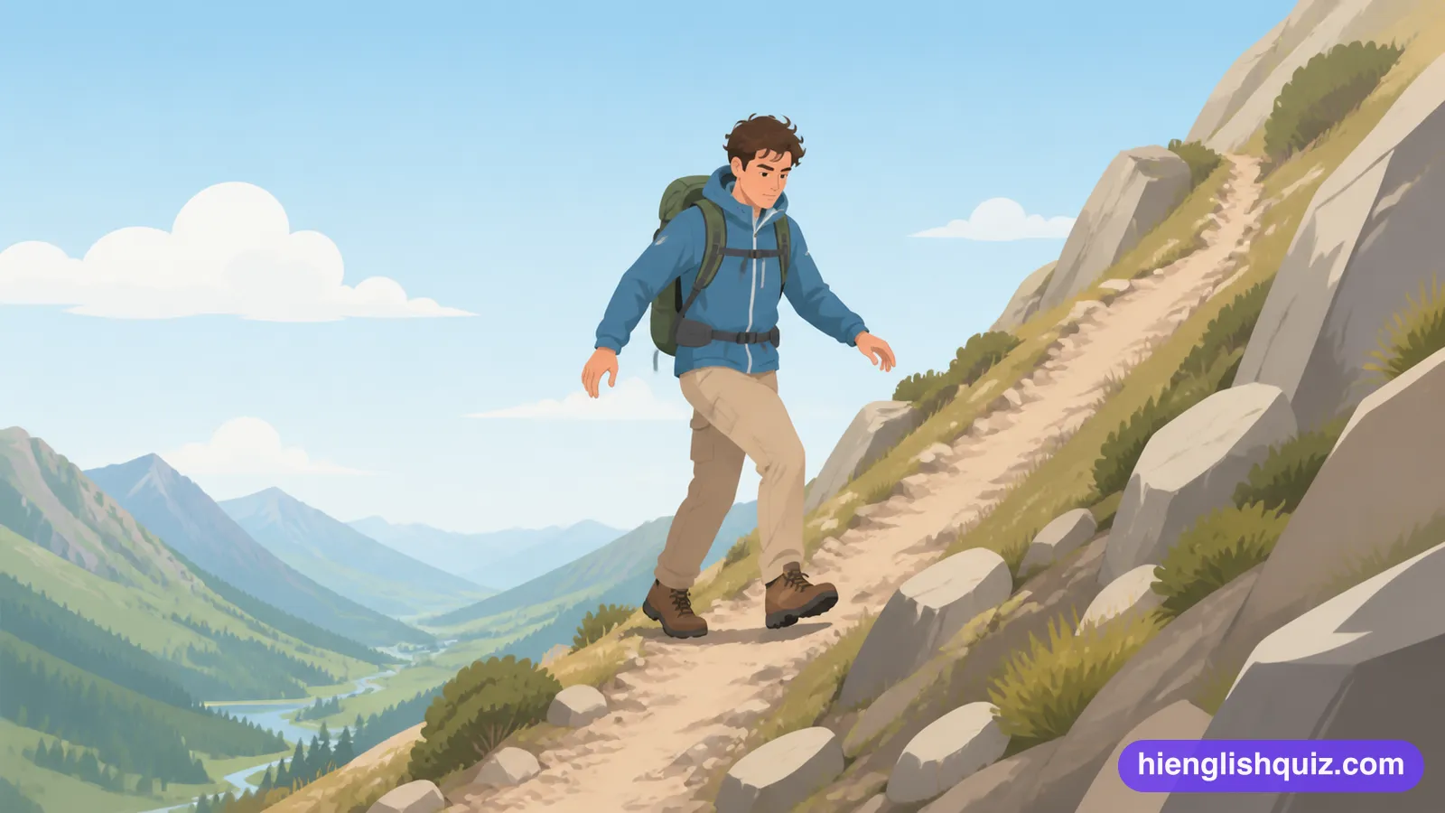
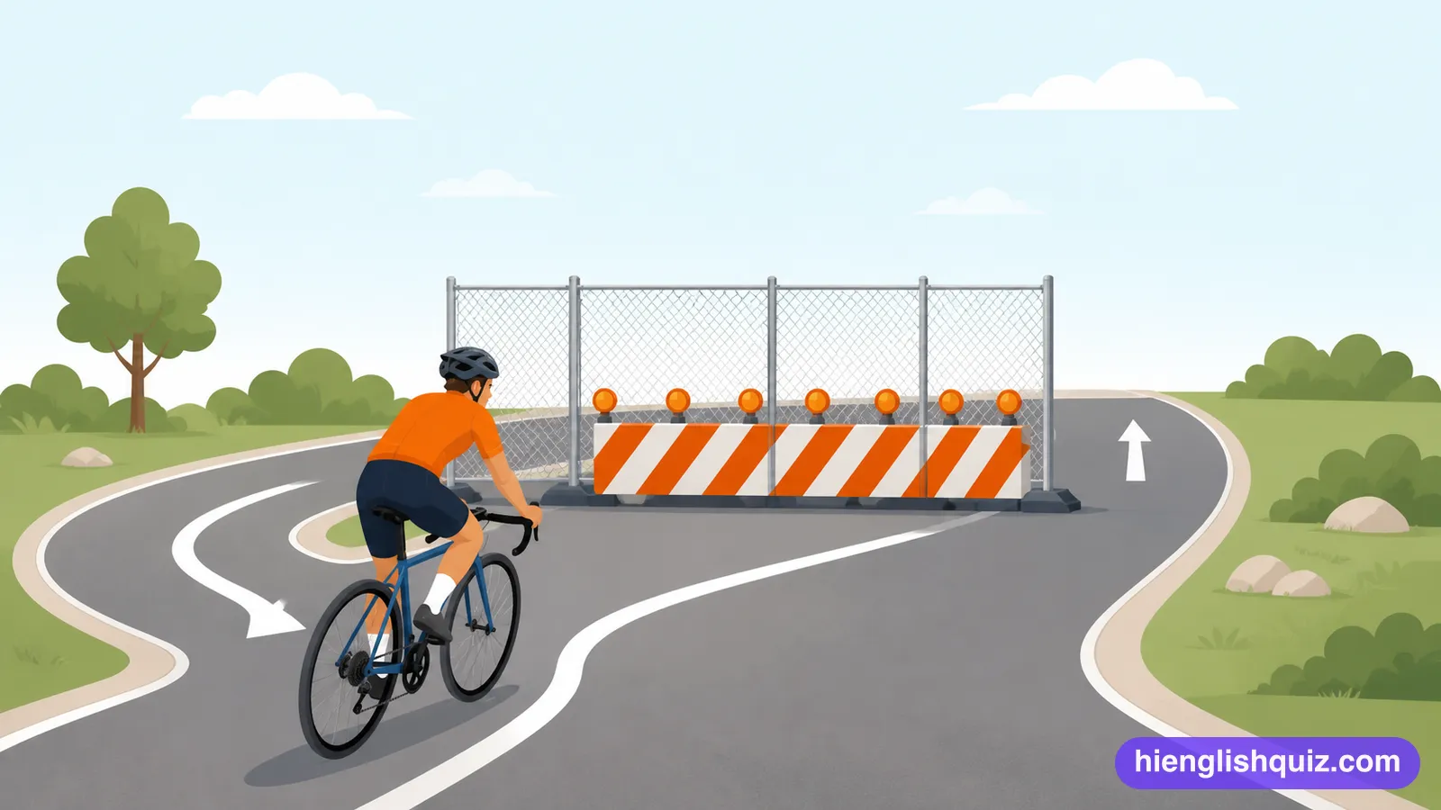
To find a way around an obstacle instead of going straight through it.
Example: Drivers circumvented the closed road by using back streets.
To work out where you are and which way to go, after being confused.
Example: It took a moment to reorient myself outside the station.

To turn away from the route or plan you were following.
Example: The bus had to deviate from its usual route because of roadworks.

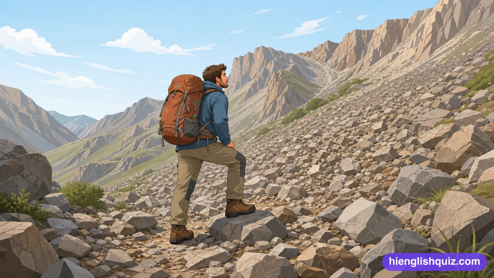
The physical shape and surface of an area of ground, such as how steep or rocky it is.
Example: The terrain gets rough once you leave the main track.
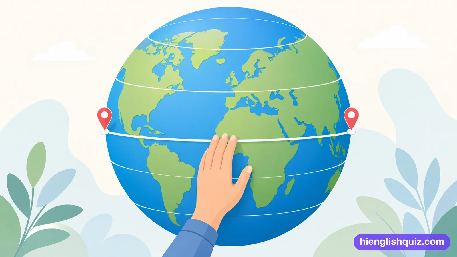
The measure of how far north or south of the equator a place lies.
Example: Iceland sits at almost the same latitude as Alaska.
The panel on a map that explains what its colours and small pictures mean.
Example: Check the legend to see which line marks a footpath.
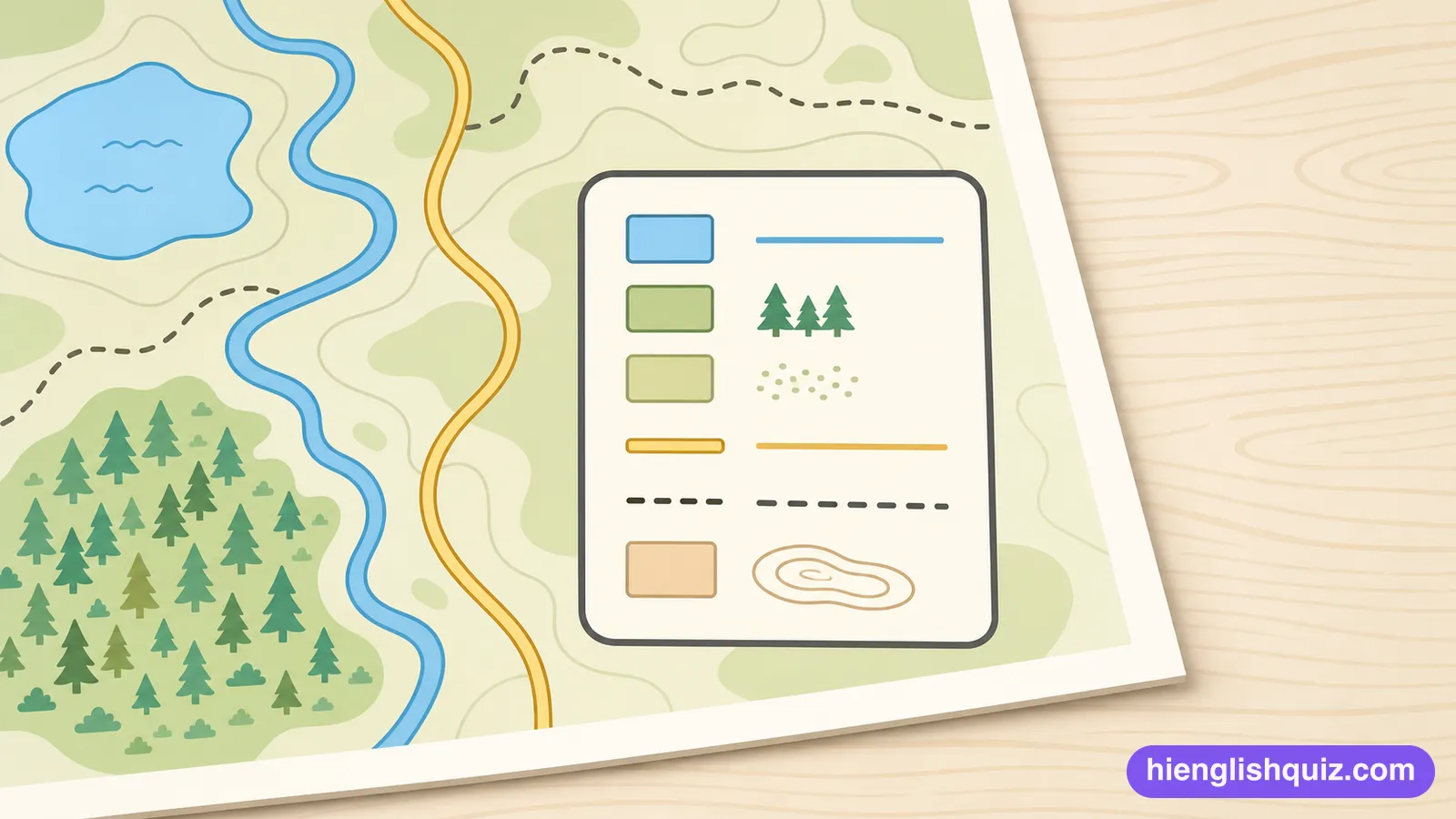
A pattern of crossing lines on a map, used to give the exact position of a place.
Example: She read our grid reference straight off the map.
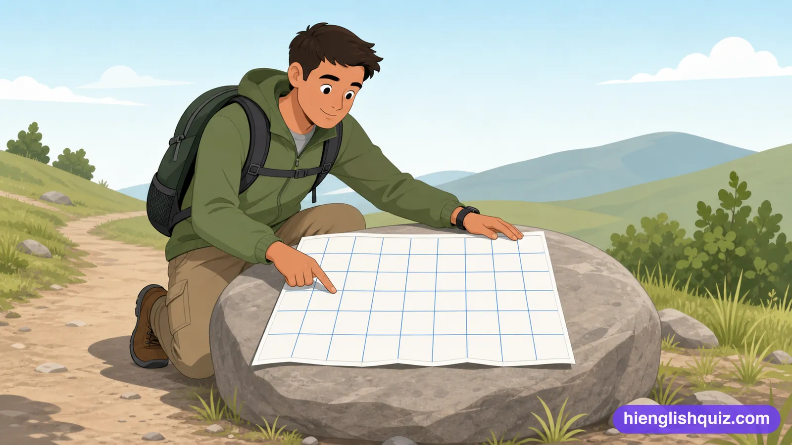
The direction of a place from where you stand, measured in degrees from north.
Example: Take a bearing on that far tower before the fog closes in.
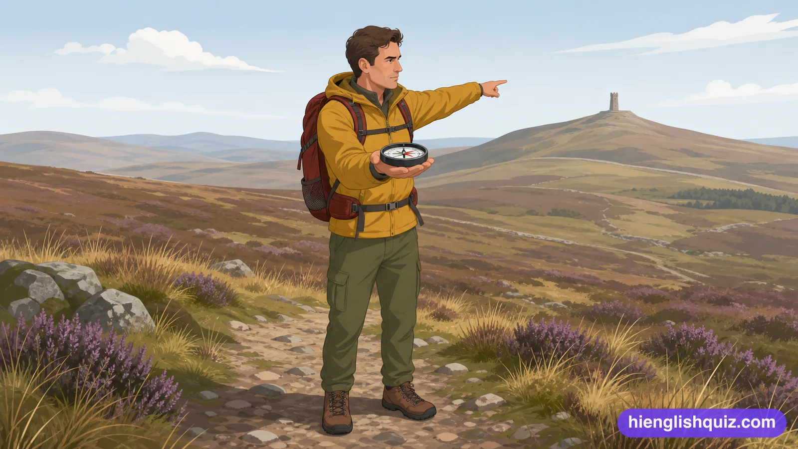
The distance east or west of an imaginary line running through Greenwich, measured in degrees.
Example: The ship's exact longitude was recorded in the log.

An imaginary line running from the North Pole to the South Pole, used to measure longitude.
Example: Greenwich sits on the prime meridian.

An index of place names, often included with a map, giving their locations.
Example: He looked up the village in the gazetteer at the back of the atlas.

The direction of a point, measured as an angle from north.
Example: The surveyor calculated the azimuth to the distant tower.
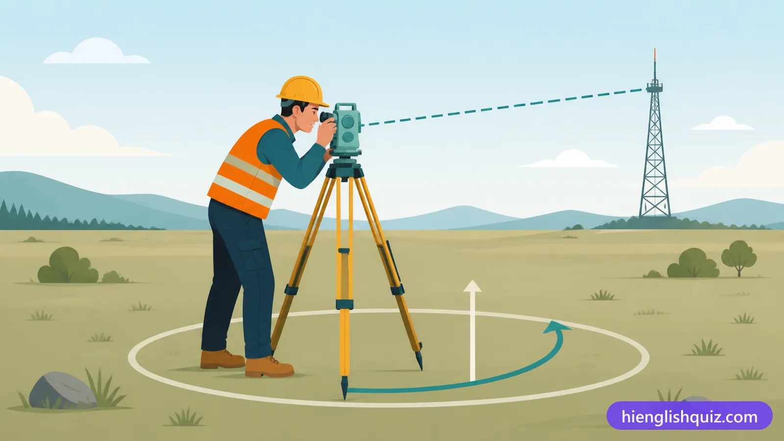
The area immediately around a particular place.
Example: Are there any decent cafes in the vicinity of the station?

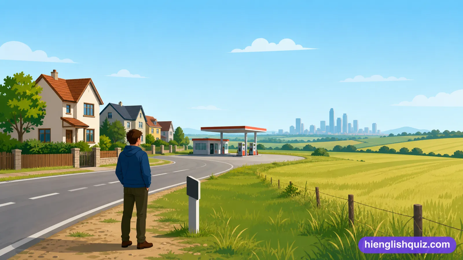
Away from the sea, towards the middle of a country.
Example: We drove inland for an hour and the air got much warmer.