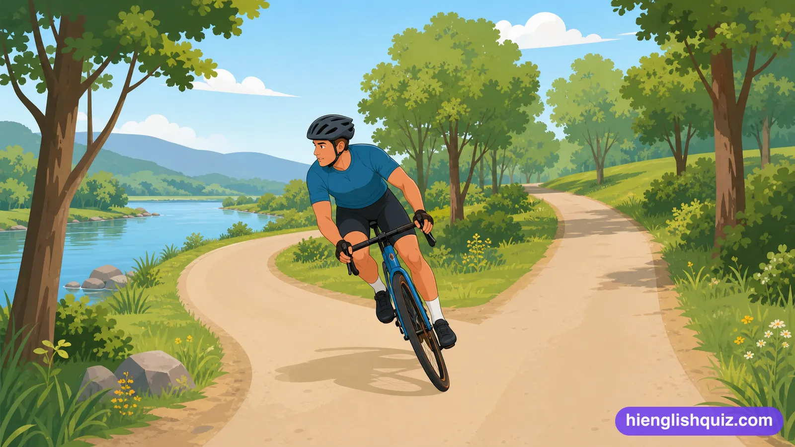
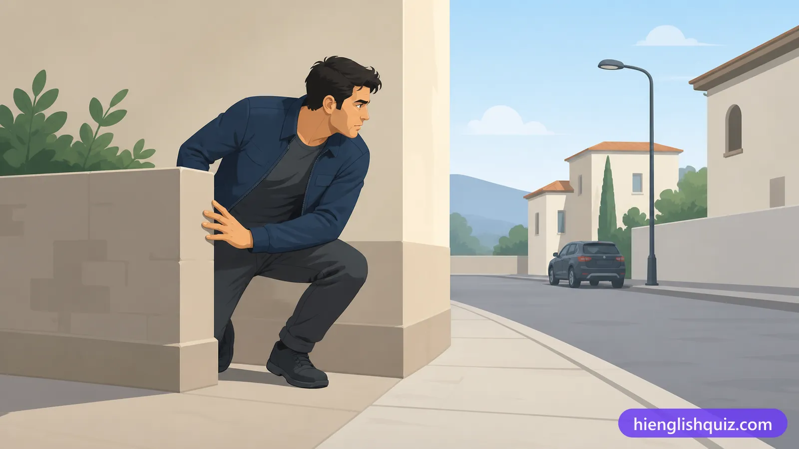
veer
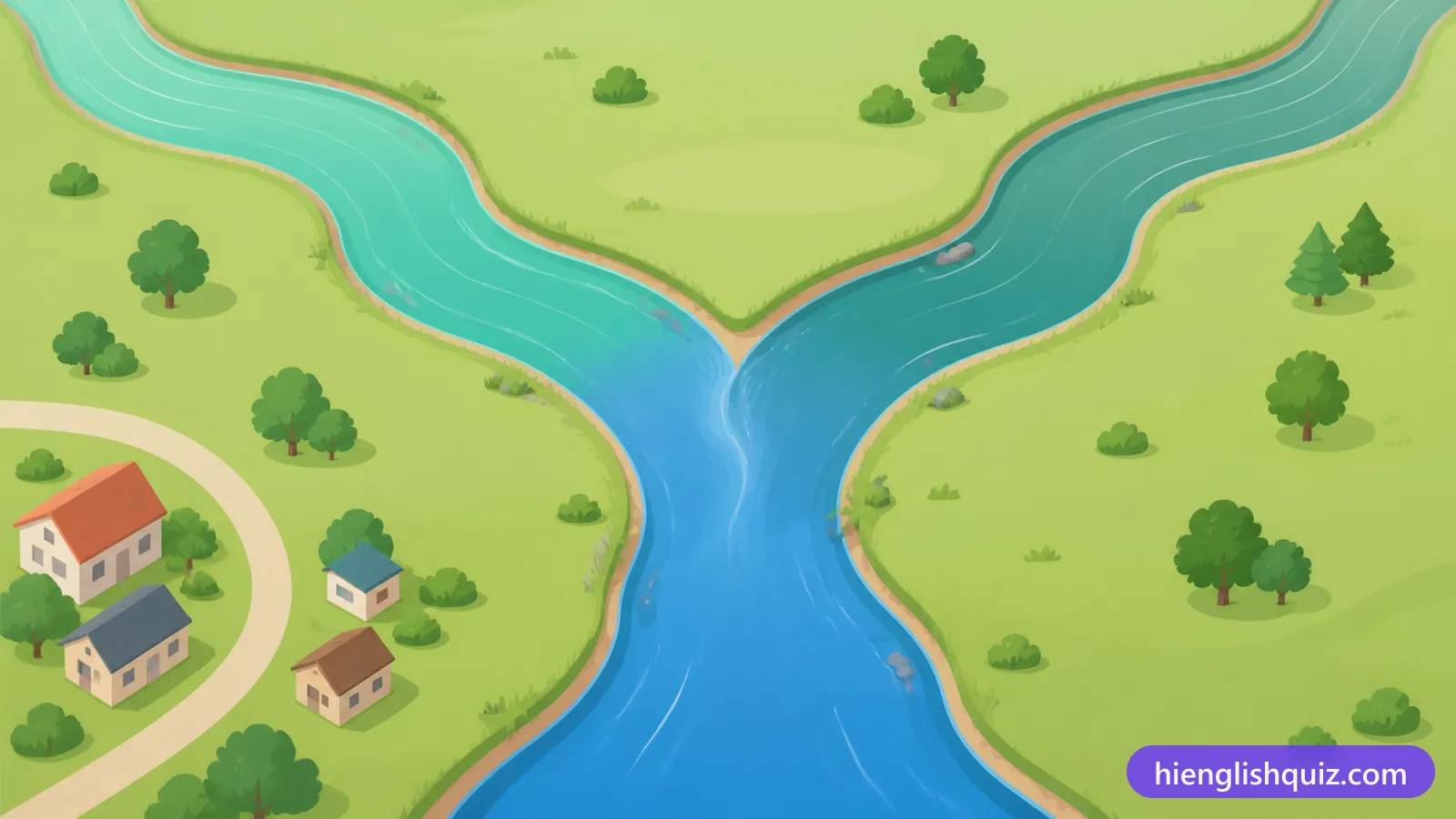
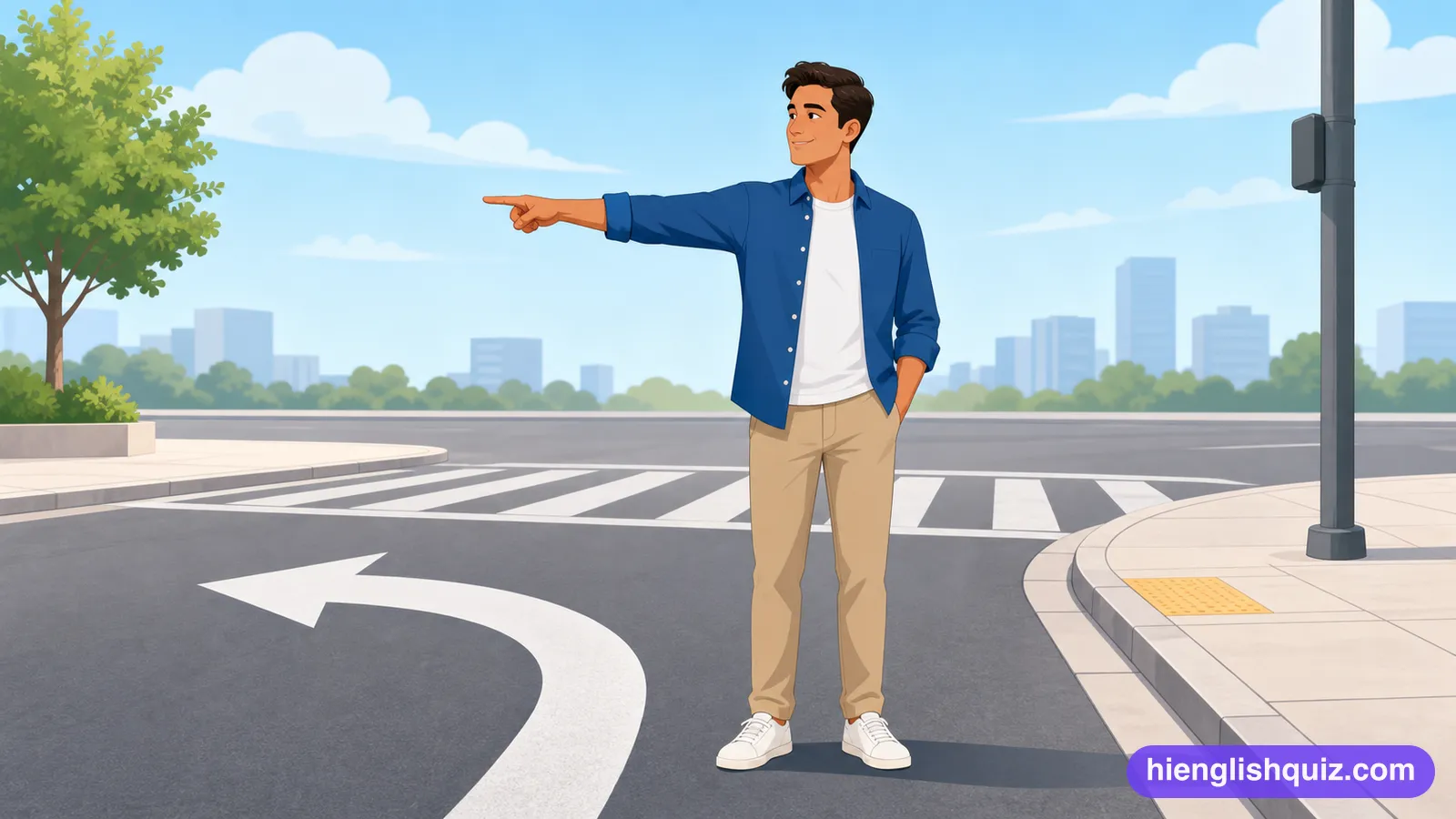
/vɪr/To change direction gradually towards one side while still moving forward.
Example: Veer left at the fork and follow the river path.
 Hi EnglishQuiz
C223 words · Proficient
Directions vocabulary for the science of cartography, including triangulation, geolocation and a rhumb line, plus veering, wending and taking a tortuous route.
To change direction gradually towards one side while still moving forward.
Example: Veer left at the fork and follow the river path.
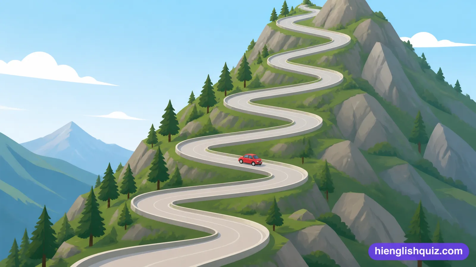
Full of twists and turns, or unnecessarily long and complicated.
Example: The road up the mountain was steep and tortuous.
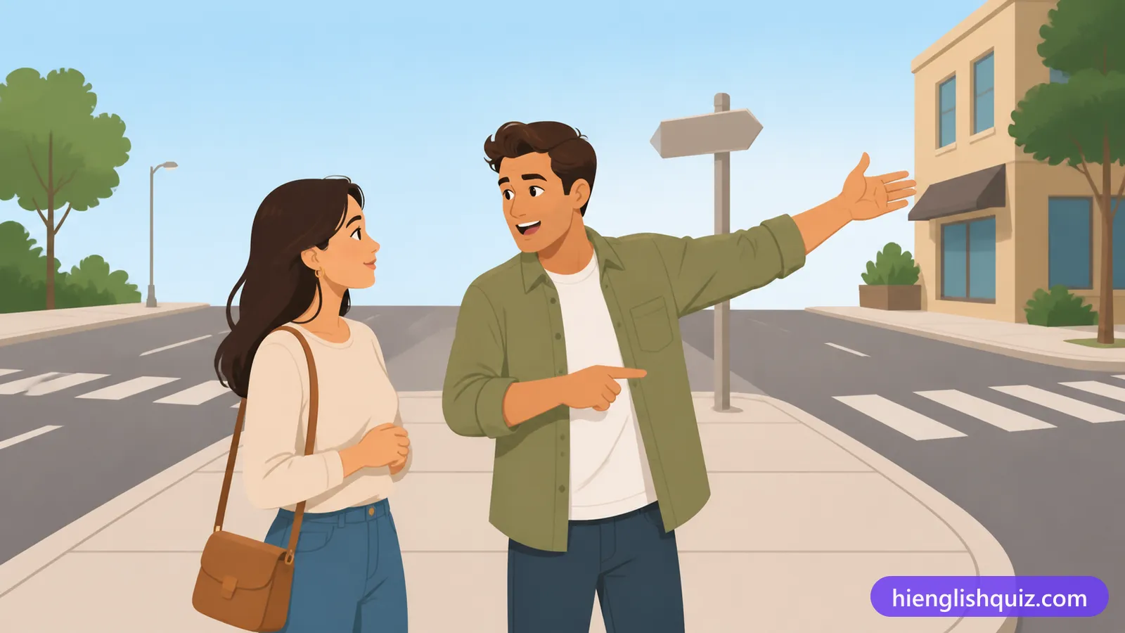
To move your hands and arms about to help explain or emphasise something you are saying.
Example: The old man gesticulated wildly towards the harbour.
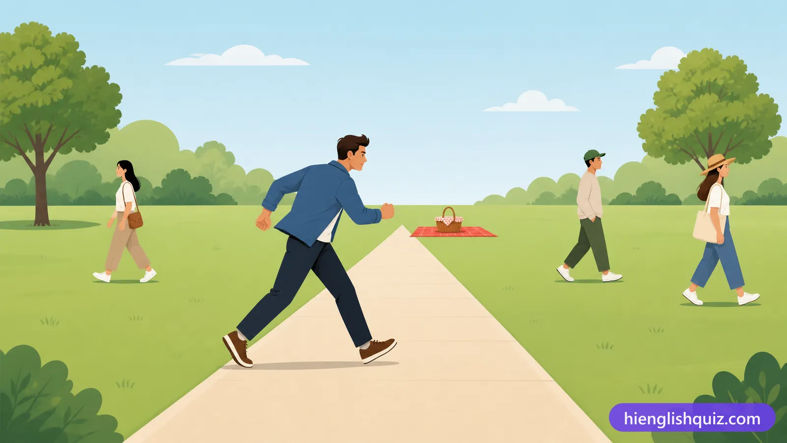
To go straight and quickly toward something, without any delay.
Example: As soon as we arrived, the children made a beeline for the fountain.
Marked with signs or symbols to show a route for walkers.
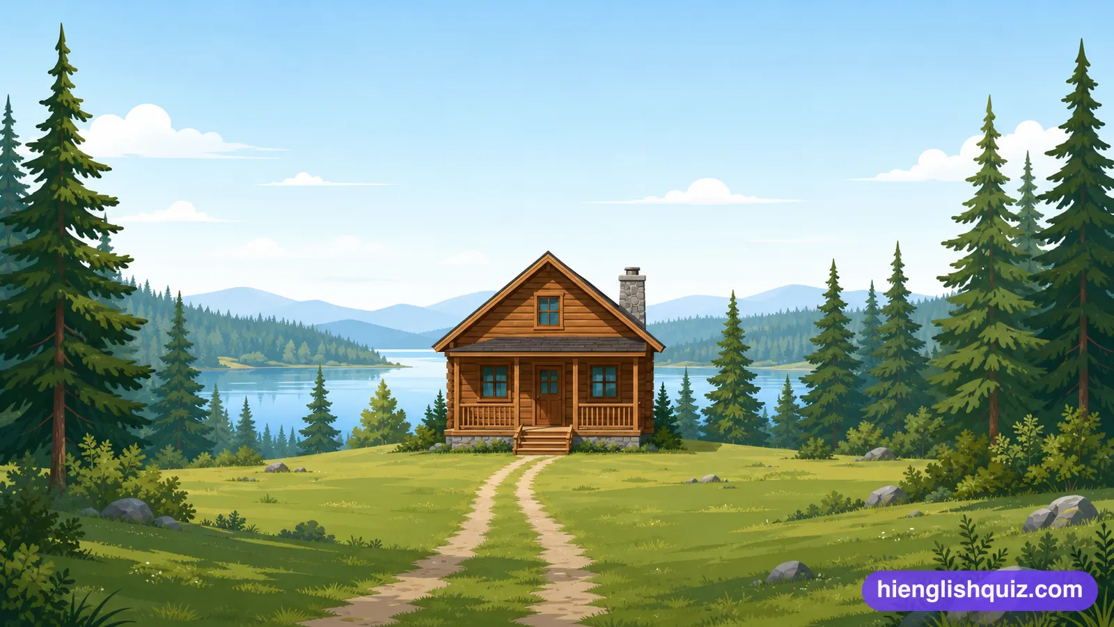
Example: We followed the waymarked trail through the forest.
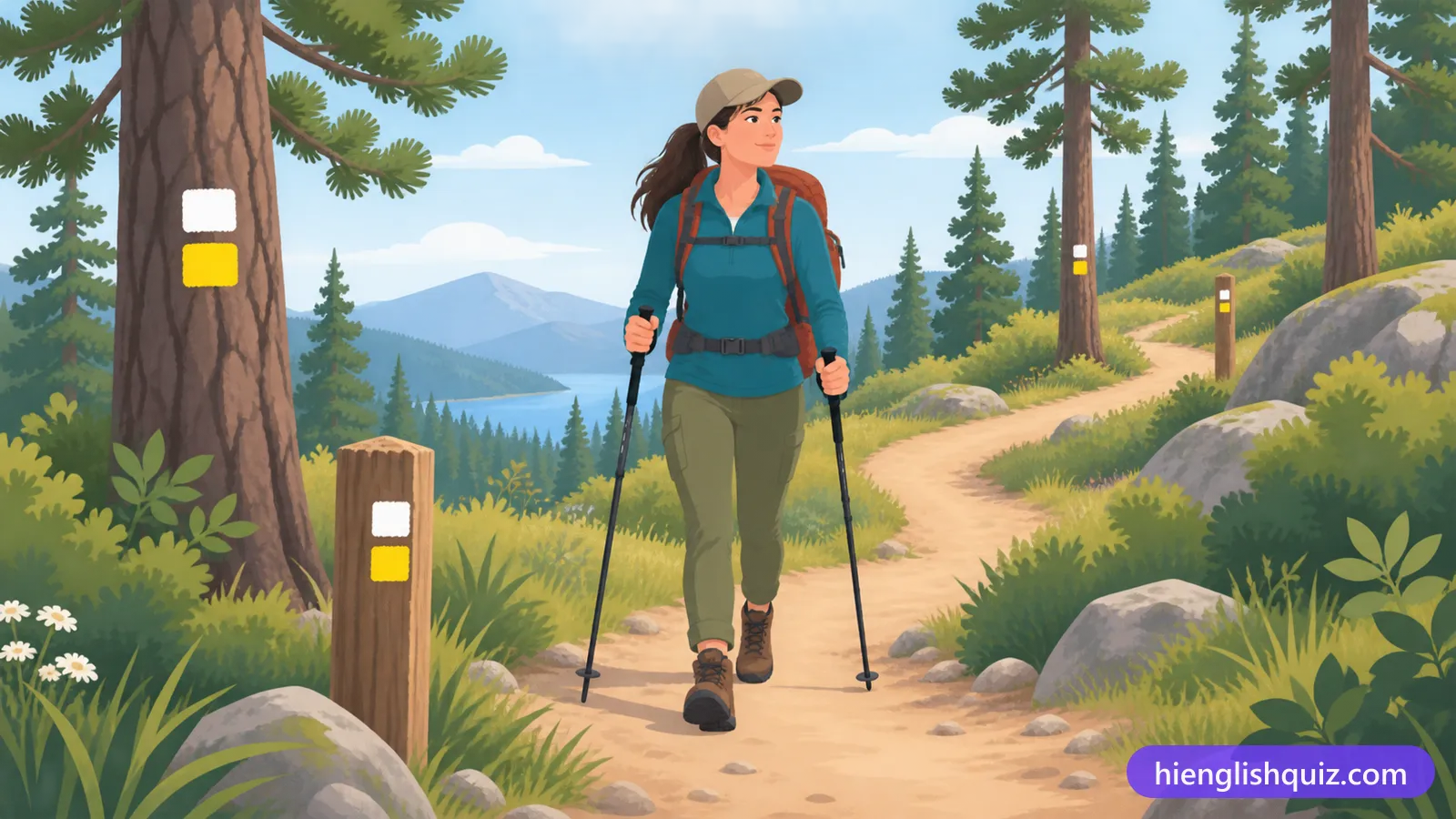
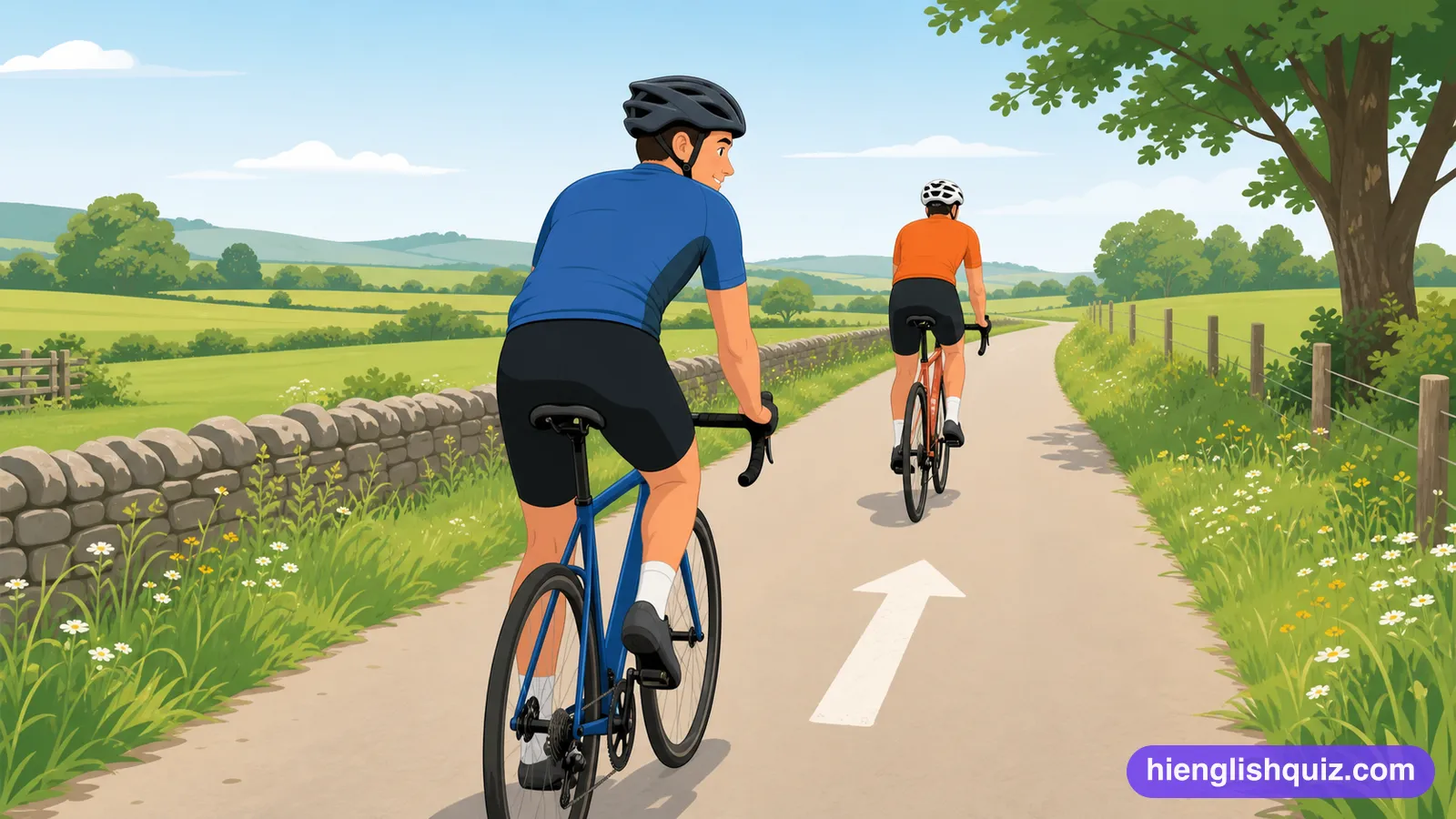
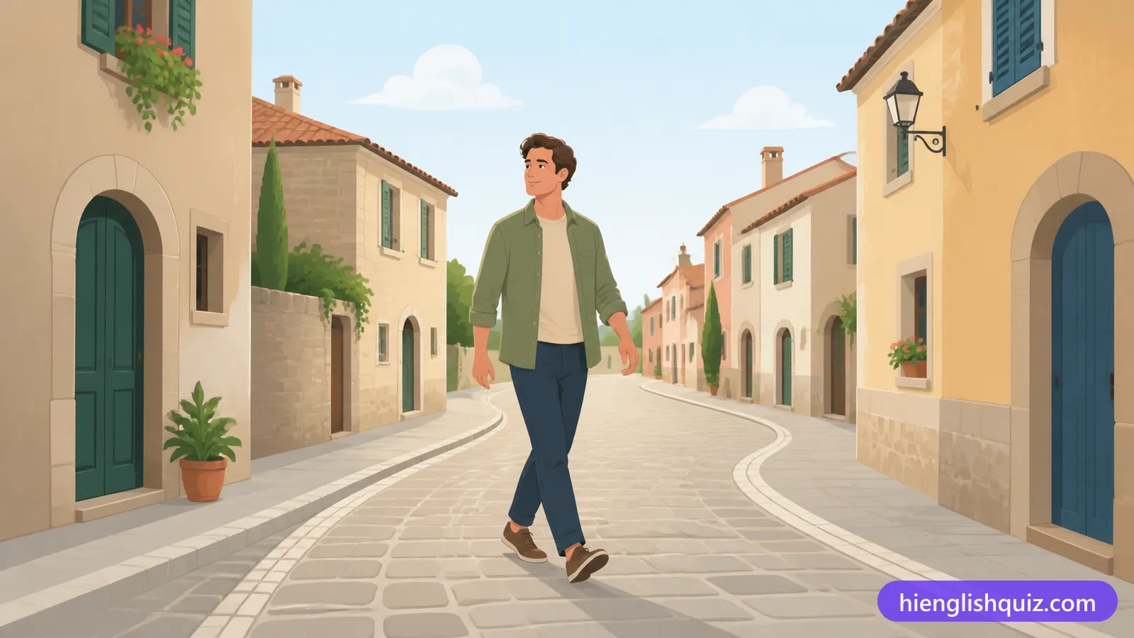
To go slowly in a particular direction, often on a journey.
Example: We wended our way home through the quiet backstreets.
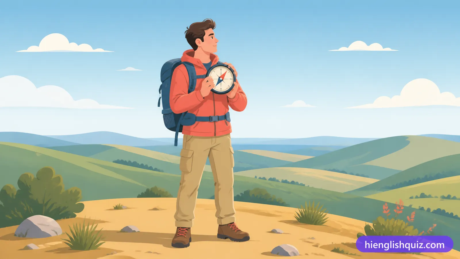
Referring to the four main compass directions: north, south, east and west.
Example: Sailors once relied on the stars to find the cardinal points.
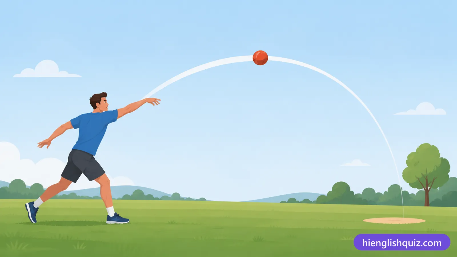
The curved path that something follows as it moves.
Example: We tracked the trajectory of the boat across the bay.
To explore an area to get information about it, often before deciding what to do.
Example: We reconnoitred the old town before choosing a route.
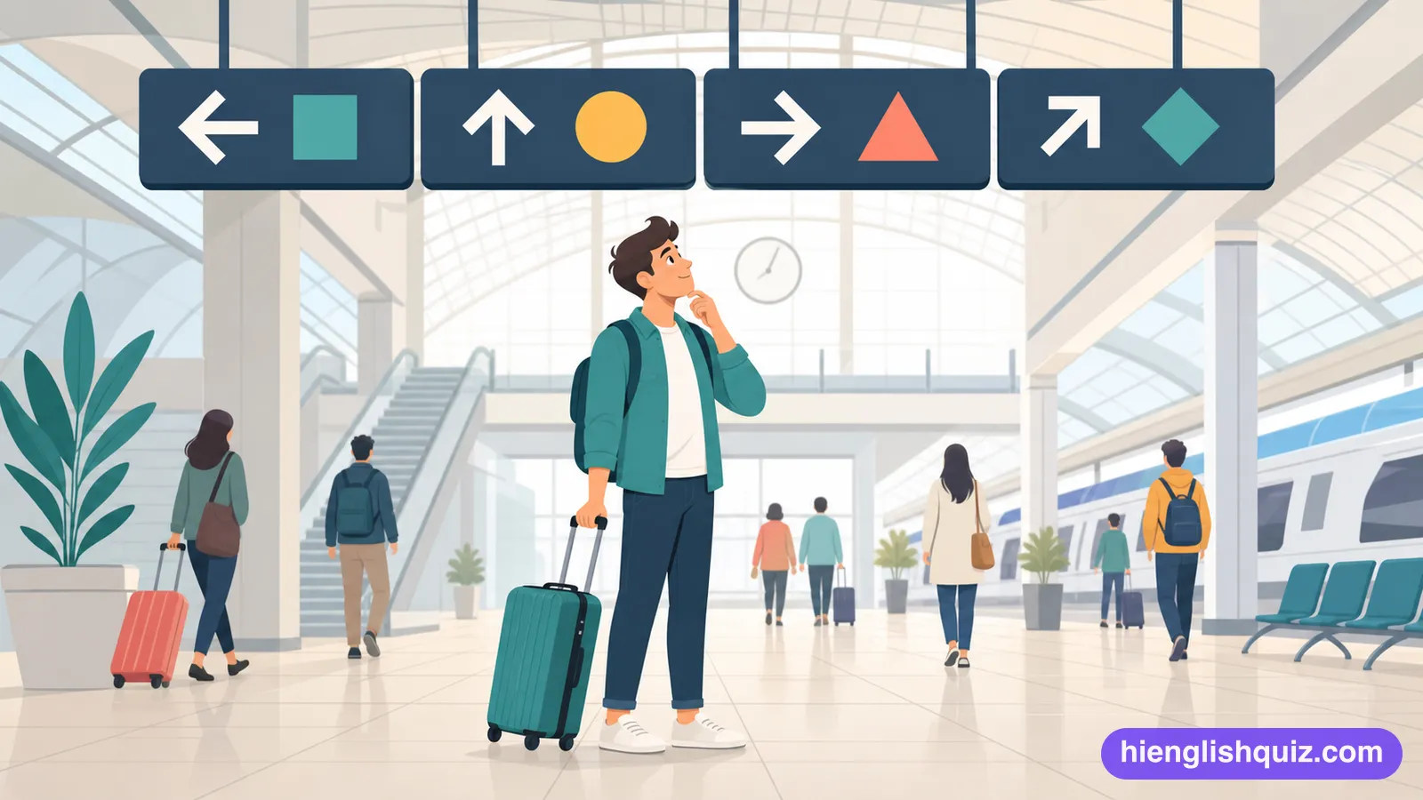
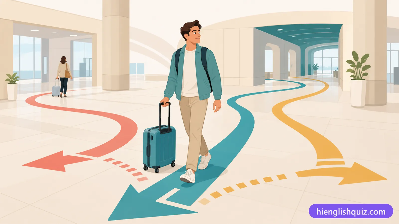
The use of signs, maps and other visual clues to help people find their way around a place.
Example: The new station has much clearer wayfinding for passengers.
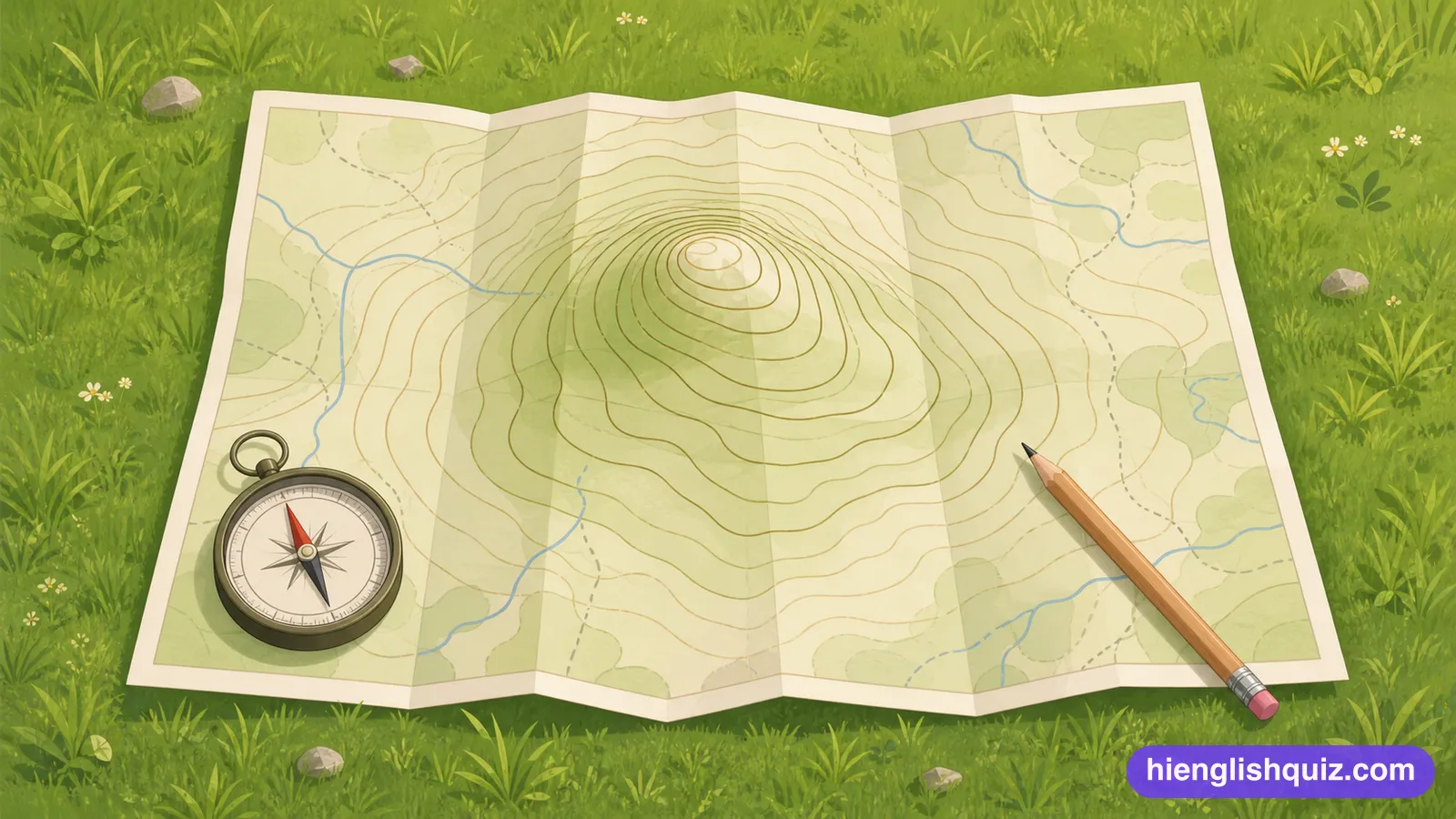
A line on a map joining all the points that sit at the same height above sea level.
Example: The contour lines bunch together, so that slope is steep.
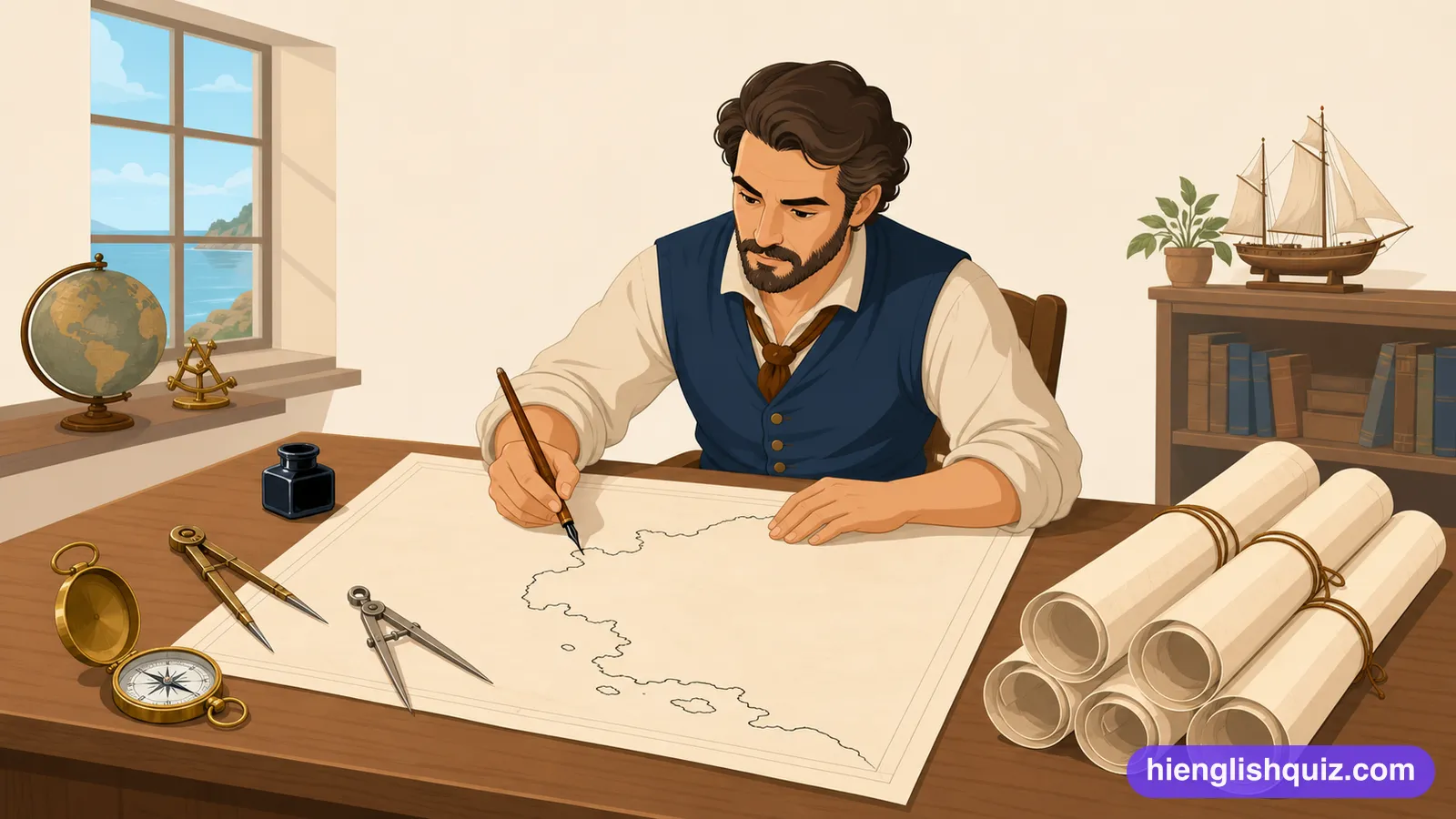
The skill and practice of drawing and producing maps.
Example: He studied cartography before joining the survey team.
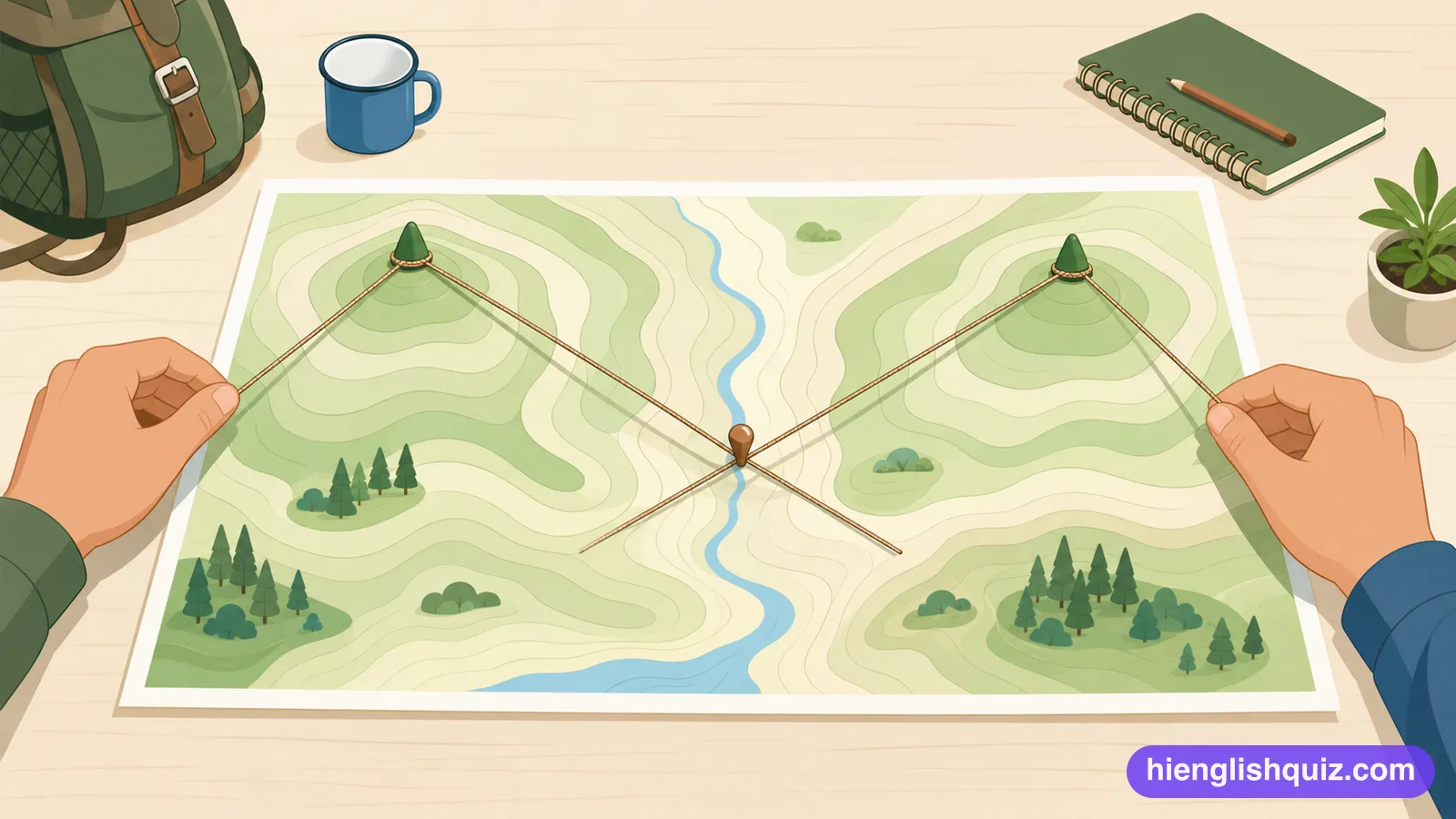
The method of working out exactly where a point lies by measuring angles to it from two known places.
Example: Rescuers located the missing climbers by careful triangulation of their radio calls.
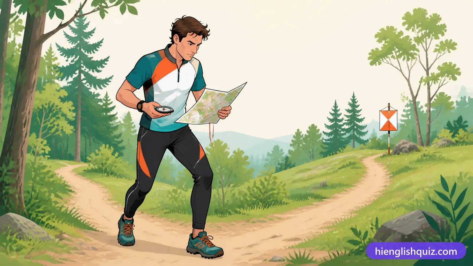
A person who takes part in the sport of finding their way between points using a map and compass.
Example: The young orienteer finished the course in record time.
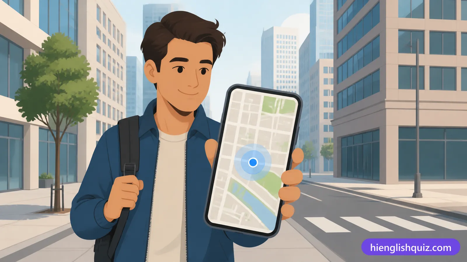
The process of finding the exact geographical position of something, such as a phone.
Example: The app uses geolocation to suggest nearby cafes.
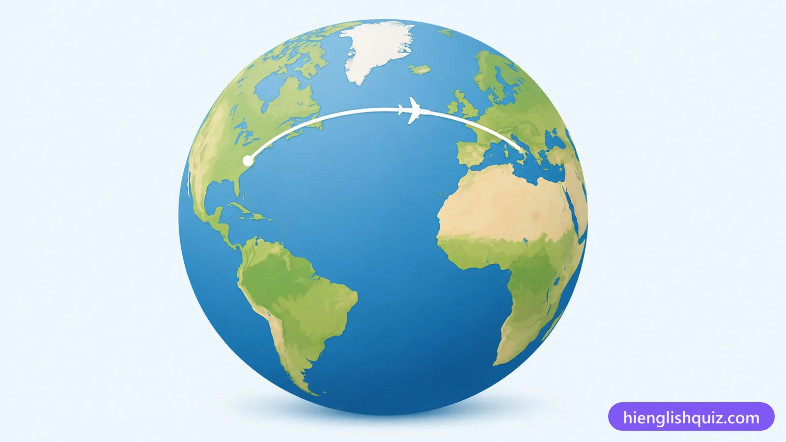
The shortest route between two points on the surface of a sphere, such as the Earth.
Example: Long-haul flights often follow a great circle route.
A fixed reference point used as the basis for measuring positions on a map.
Example: Modern maps are built on a satellite datum.
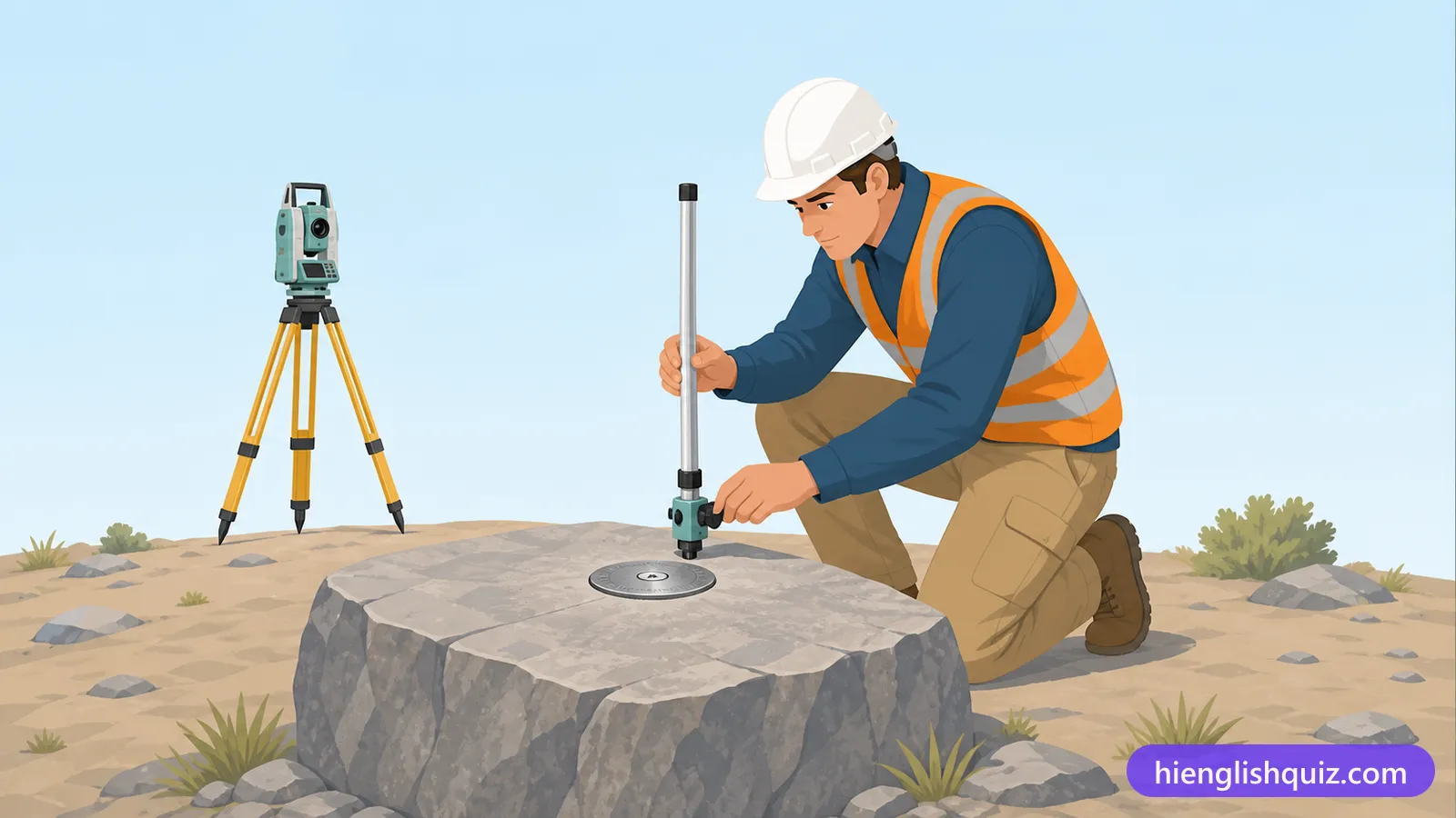
Relating to the location and shape of things on the Earth's surface.
Example: The company analyses geospatial data for city planners.
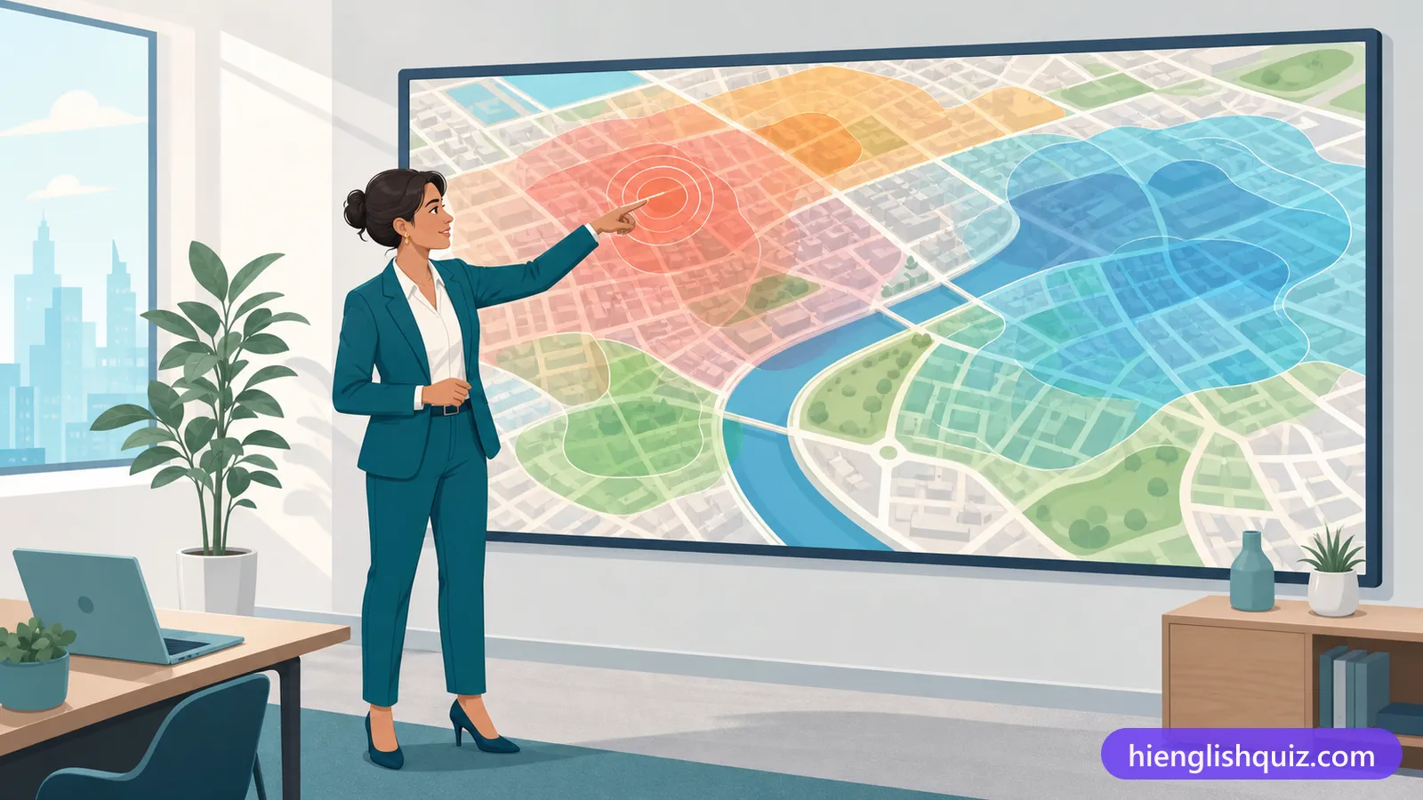
Relating to the making of maps.
Example: The museum has an impressive cartographic collection.
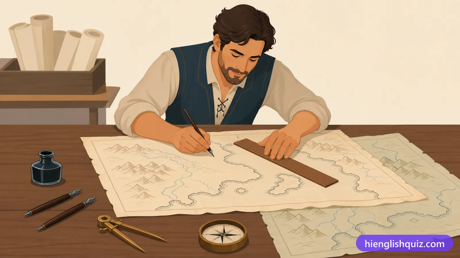
A navigation route that crosses every meridian at the same angle, shown as a straight path on some maps.
Example: Sailors once preferred a rhumb line to a shorter but more complex route.
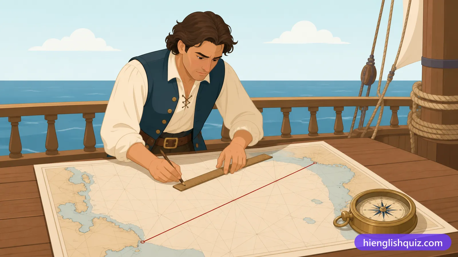
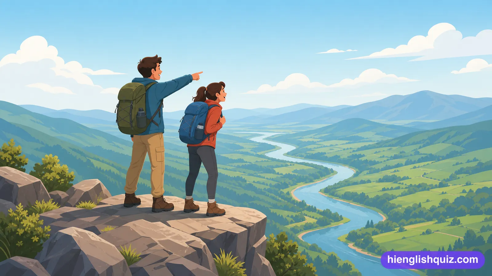
A place high up that gives a particularly wide view over everything around.
Example: The tower gives the best vantage point in the whole city.
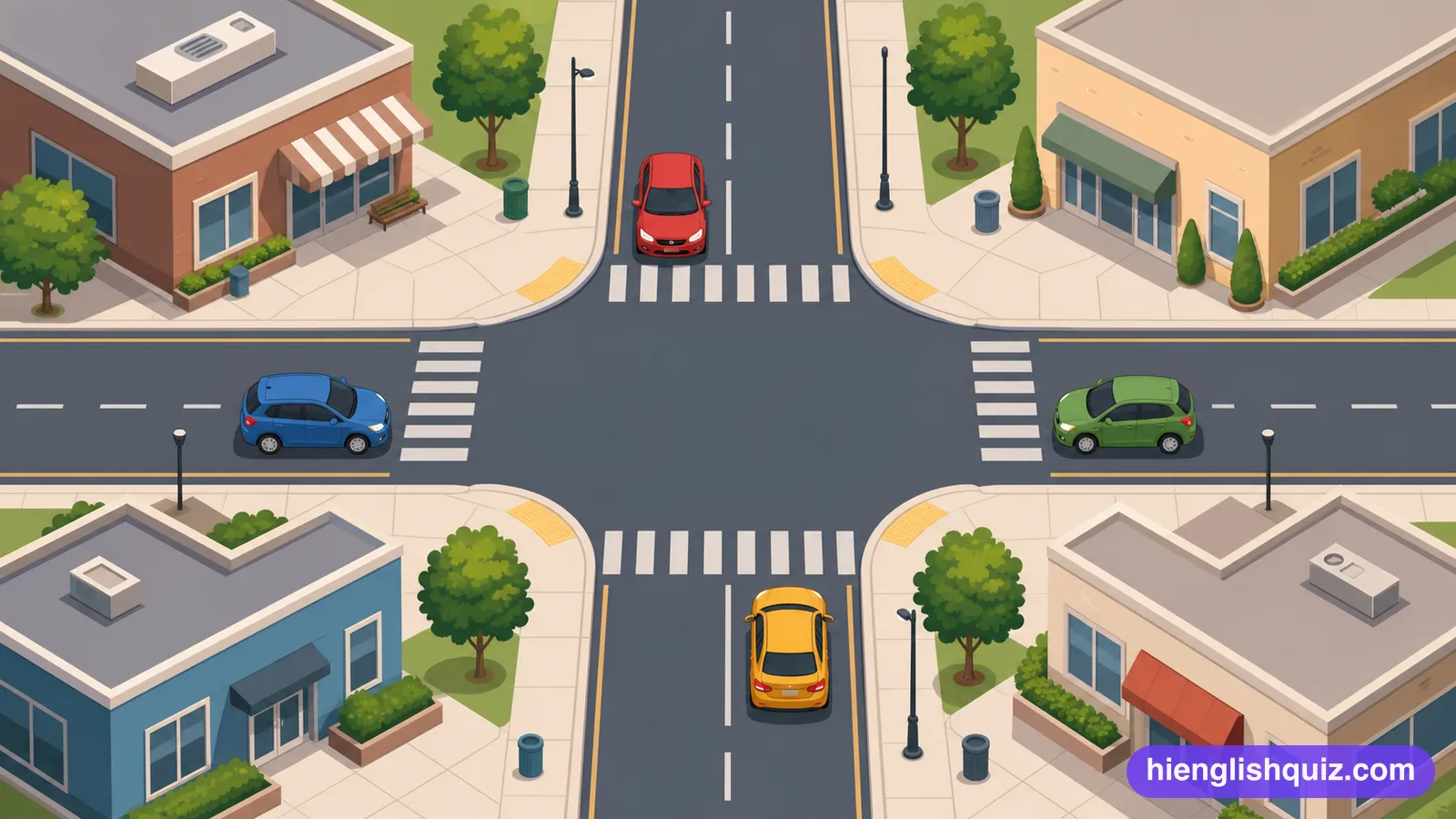
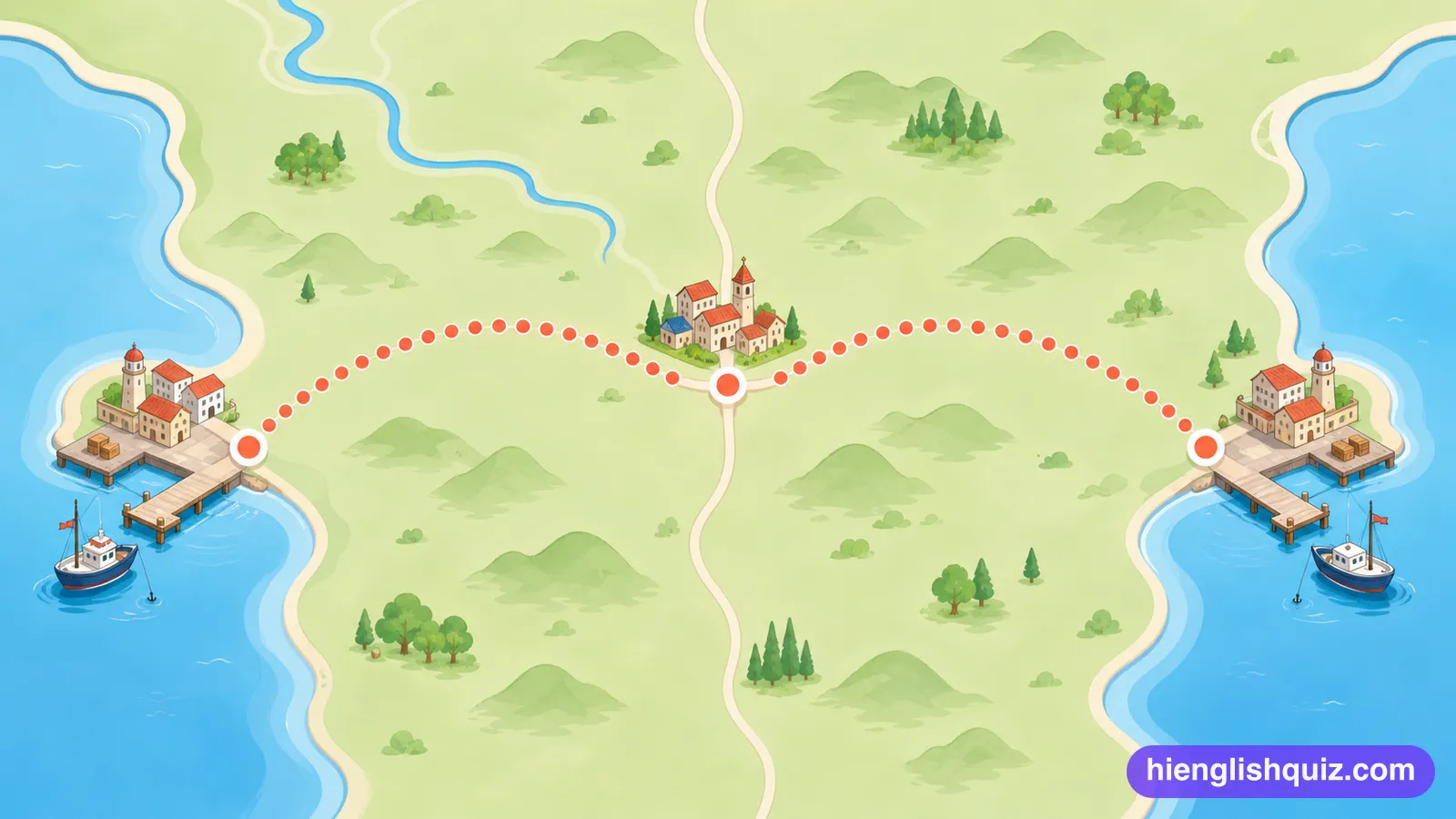
Exactly as far from one place as it is from another.
Example: The village lies roughly equidistant from both coastal towns.
The point where two rivers meet, or where different things come together.
Example: The town was built at the confluence of two rivers.